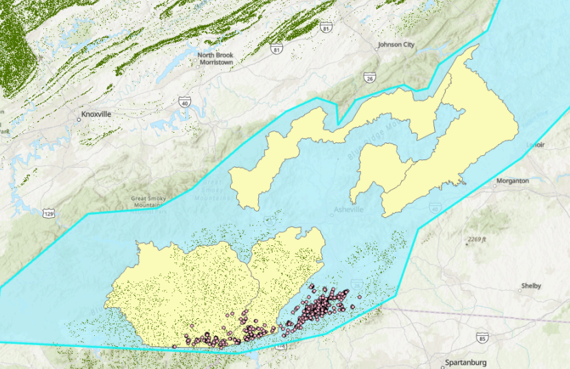
This project will use large environmental datasets, historic survey data, and GIS analysis to create habitat maps and predict distributions for species of conservations concern. These maps will be overlaid with areas damaged by Hurricane Helene to identify priority geographies for future monitoring and restoration work by Clemson, USFS, and other partners.
Faculty: Dr. Erin Buchholtz
Staff: Lydia Robbins